










Transform Complex 3D Scans into Browser-Based Digital Twins

The browser-based reality capture solution that turns laser scans into actionable Visual Twins.

Digital Twin Solutions: Manage and Collaborate on Massive 3D Scan Data in Your Browser

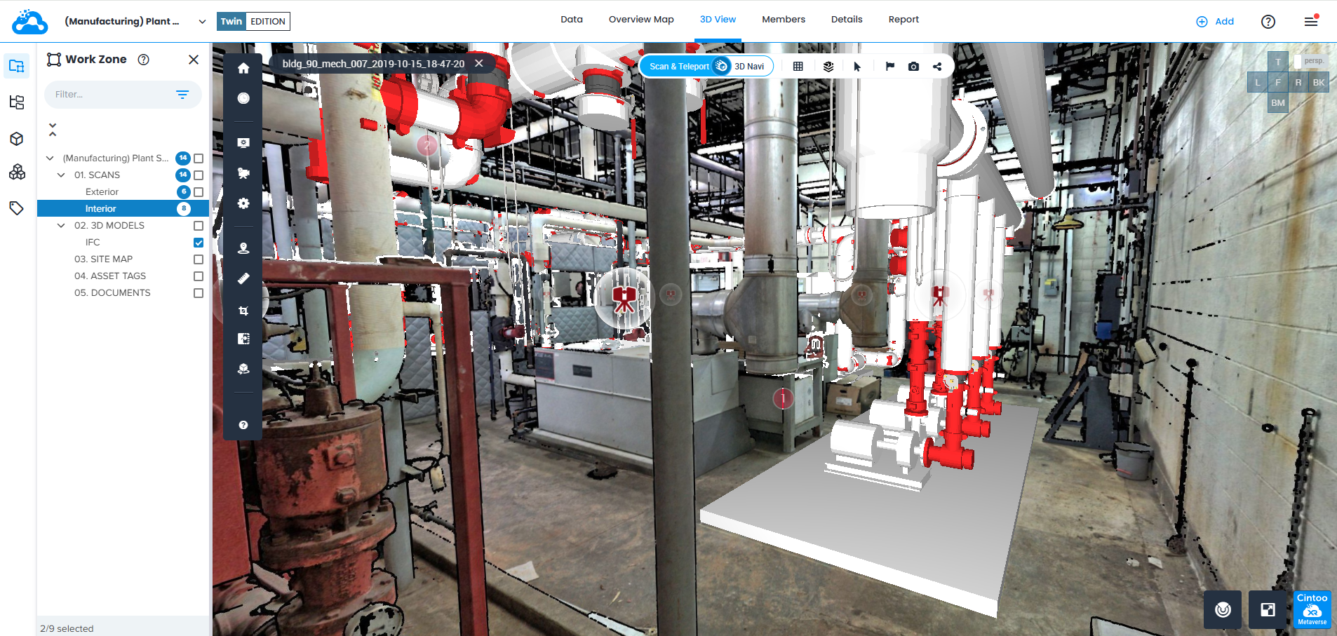
Cintoo's reality capture software revolutionizes 3D scan data management and collaboration, empowering industries such as Construction, Energy (Oil & Gas), Automotive, and Manufacturing to achieve unparalleled efficiency and insight. With unlimited users, scan and model uploads, and exports, Cintoo breaks down collaboration barriers, enabling teams of any size to seamlessly work together in real time, whether using terrestrial laser scanning, mobile capture, or drone data: regardless of hardware brand or project complexity.

By leveraging Cintoo's digital twin & reality capture solutions, stakeholders gain instant, cloud access to massive 3D scan data, transforming cumbersome workflows into streamlined operations that prioritize clarity, speed, and precision. The platform’s unique ability to dramatically reduce file sizes while maintaining millimetric accuracy ensures that you can effortlessly compare and overlay data.

Experience the stark difference between traditional scan workflows and Cintoo’s innovative synergy-driven solution: unlocking the potential of your reality capture data to shape better business outcomes.

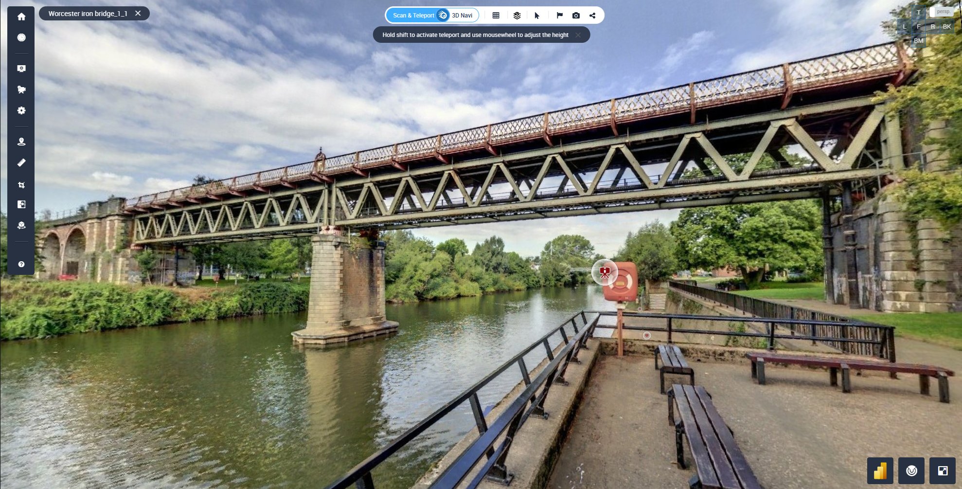
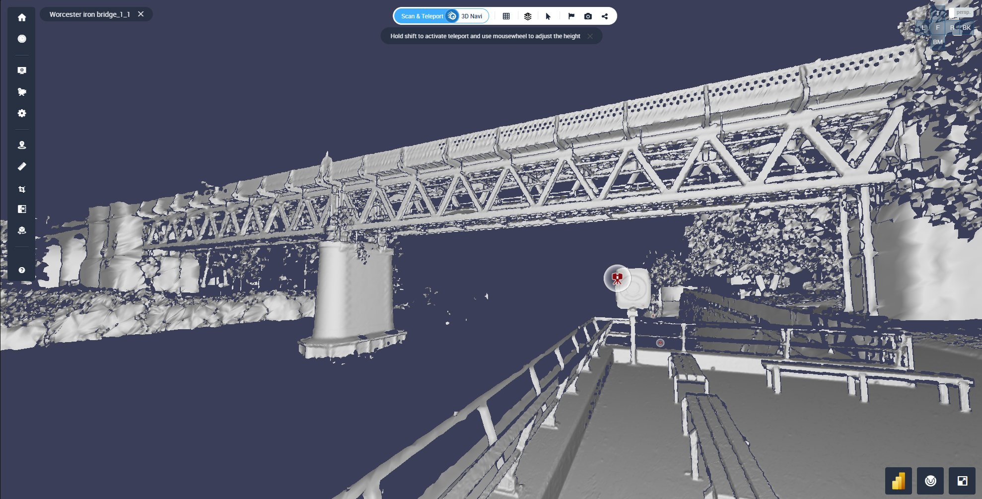
Transform your scans: Compare real-world vs. Cintoo Mesh

real-world-photo 3d-render
tabber-overlay-graphic

VIRTUALIZE. CLASSIFY. VERIFY.

OLD WAY

Vendor-first clouds that feel hardware-agnostic aren't - they're only optimized for specific scanners. In this way, teams get stuck exporting vendor formats, fighting compatibility, and losing time when mixing terrestrial, mobile, and drone captures.

CINTOO WAY

We expand, not replace. Add a cloud-based solution into your hardware workflow, including onto desktop applications, without any difficulty. We support terrestrial laser scanning, mobile, and drone capture with true hardware-agnostic mesh streaming at source scanner resolution.


01. SCANS (1)
counter-overlay-img

Real-World Success Stories

5x

Faster Project Delivery

98%

Better Build Accuracy

97%

Projects Meet the Deadline

85%

Issues Foreseen

See some of our Real Projects

play-3d-icon

MEP Rooms

28 Scans

Leica BLK360 Scanners

13M Points Per Scan

Revit BIM Model

play-3d-icon

Oakland Train Station

56 Scans

Leica, Faro, Z+F Scanners

10 M-40 M Points Per Scan

play-3d-icon

Volterra Baptistry Heritage Station

16 Scans

Faro Scanners

40M Points Per Scan

view_in_ar

Worchester Iron Bridge

7 Scans

Trimble Scanners

10 - 70 M Points Per Scan

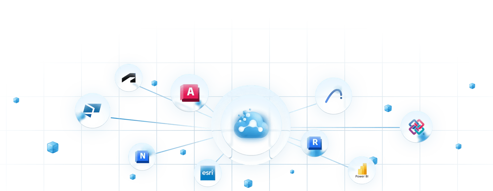
Fits Your Workflow

Works with tools you already use every day

fits your workflow

Request a Demo

Please provide a few details and our team will be in touch shortly to arrange a demo of the Cintoo platform

How demo process works in 3 simple steps:

  • Request a demo and our team will help you get set up

  • During the demo, feel free to ask any questions or bring up your own workflow challenges– our team is here to help.

  • If necessary, we’ll follow-up and make sure you have what you need.

“Cintoo for us has really democratized point cloud data so that it becomes the deliverable standard.”

format_quote

John Brown

Supervisor, Reality Capture Division, General Motors

Get in touch
form_bg_square-min

FAQs

What are digital twin solutions and how do they work?

chevron_down

Digital twin solutions create a virtual replica of physical assets, facilities, or environments using real-world data like laser scans, 360° imagery, and BIM models. Cintoo's digital twin solution goes further by streaming engineering-grade 3D data in the cloud, enabling teams to remotely inspect, annotate, compare, and collaborate on complex facilities without ever visiting the site.

What should I look for in the best digital twin software?

chevron_down

The best digital twin software should offer cloud-based access, support for multiple data formats (point clouds, 360° photos, BIM/CAD), real-time collaboration, and powerful analysis tools like scan-to-BIM comparison and deviation detection. Cintoo checks all these boxes and adds hardware-agnostic data ingestion, browser-based 3D visualization, and enterprise-grade scalability, making it one of the top-rated digital twin platforms on the market, including winner of the AWE Auggie Award for Best Reality Capture Solution.

Can Cintoo process and manage point cloud survey data?

chevron_down

Yes. Cintoo is purpose-built to handle large-scale point cloud survey data from any laser scanner or LiDAR device. Once uploaded, your point cloud surveys are converted into high-fidelity 3D meshes that can be streamed, measured, annotated, and shared across teams through a simple browser no specialized hardware or desktop software required.


What Are Reality Capture Solutions?

chevron_down

Reality capture solutions use technologies like LiDAR, photogrammetry, and 360° cameras to create precise digital representations of physical spaces. Cintoo goes beyond capture. We transform this data into an interactive, cloud-based digital twin that teams across your organization can access, annotate, and act on.

How does Cintoo work with terrestrial laser scanning data?

chevron_down

Cintoo is fully compatible with terrestrial laser scanning data from all major scanner manufacturers, including Leica, FARO, Trimble, and more. Simply upload your scan files, and Cintoo automatically processes them into a navigable, cloud-based 3D environment. Teams can then perform remote inspections, QA/QC checks, asset tagging, and collaborative reviews & all from the terrestrial laser scanning data you've already captured.

Can Cintoo be used for digital twin plant simulation and planning?

chevron_down

Absolutely. Cintoo enables teams to build a precise digital twin of their plant or industrial facility using laser scans and 360° imagery. This digital twin serves as the foundation for plant simulation workflows; Including retrofit planning, layout optimization, clash detection, and maintenance scheduling. By overlaying BIM/CAD models onto as-built scan data, engineers can simulate changes and validate designs against real-world conditions before any physical work begins.