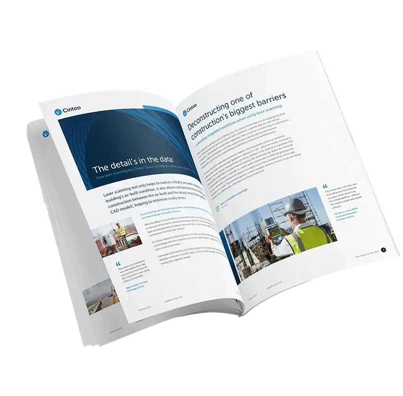
EBOOK

Why True Interoperability is the Key to Unlocking Full Value from Geospatial Data

In this e-book you’ll discover: 

  • Platform agnosticism is no longer optional—it's strategic: In a fragmented geospatial ecosystem, being hardware- and software-neutral allows organizations to maximize flexibility, reduce vendor lock-in, and future-proof their workflows.

  • Interoperability accelerates innovation and adoption: By enabling seamless integration with emerging tools, AI models, and cloud infrastructure, platform-agnostic solutions like Cintoo empower teams to adopt the best technologies as they evolve.

  • Cross-platform compatibility enables true collaboration: Interoperable platforms break down silos between stakeholders, disciplines, and data sources—supporting smoother workflows and better decision-making across projects.

  • Cintoo is built to connect diverse technologies and teams: With support for all major LiDAR hardware, point cloud formats, and integrations with leading platforms like Autodesk and Procore, Cintoo facilitates agile, scalable, and intelligent operations.

  • The future of geospatial success depends on neutrality: As industries move toward AI-powered, cloud-based, and digital twin solutions, platform-agnostic strategies will be essential for staying competitive, agile, and collaborative.
format_quote_feature_card

“At the heart of my philosophy is the conviction that reality capture data has immense value. Thanks to the seamless integration of a scan and a workflow, Cintoo has effectively transformed this conviction into a tangible reality."

Denis-Pascal Carrere
3D Scanning, Equans
format_quote_feature_card

Cintoo allows us to easily confirm that what we are modeling is accurate. There’s no other real solution on the market that is doing the same thing.”

Myles Martin
Principal, M3 Design Group
format_quote_feature_card

“Cintoo for us has really democratized point cloud data so that it becomes the deliverable standard.”

John Brown
Supervisor, Reality Capture, General Motors