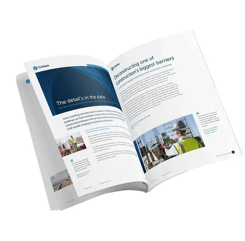
Why True Interoperability is the Key to Unlocking Full Value from Geospatial Data

Download the whitepaper

Why True Interoperability is the Key to Unlocking Full Value from Geospatial Data

This whitepaper explores the growing need for platform agnosticism in the geospatial and reality capture industries, where fragmentation across tools, formats, and vendors often impedes progress. As digital transformation accelerates—driven by AI, cloud infrastructure, and smart infrastructure systems—platform-agnostic solutions are emerging as the key to scalability, innovation, and long-term value.

The paper highlights how Cintoo’s cloud-native platform is built from the ground up for interoperability, supporting diverse hardware, software ecosystems, and industry standards. By empowering users to integrate their preferred tools, workflows, and data models, Cintoo helps eliminate silos, reduce friction, and future-proof geospatial operations. In a rapidly evolving tech landscape, neutrality is not just a feature—it’s a strategic advantage.

E-books-Cintoo
Get the e-book

Get our free Whitepaper; Why True Interoperability is the Key to Unlocking Full Value from Geospatial Data

What you'll discover in this whitepaper:

  • Platform agnosticism is no longer optional—it's strategic: In a fragmented geospatial ecosystem, being hardware- and software-neutral allows organizations to maximize flexibility, reduce vendor lock-in, and future-proof their workflows.
  • Interoperability accelerates innovation and adoption: By enabling seamless integration with emerging tools, AI models, and cloud infrastructure, platform-agnostic solutions like Cintoo empower teams to adopt the best technologies as they evolve.
  • Cross-platform compatibility enables true collaboration: Interoperable platforms break down silos between stakeholders, disciplines, and data sources—supporting smoother workflows and better decision-making across projects.
  • Cintoo is built to connect diverse technologies and teams: With support for all major LiDAR hardware, point cloud formats, and integrations with leading platforms like Autodesk and Procore, Cintoo facilitates agile, scalable, and intelligent operations.
  • The future of geospatial success depends on neutrality: As industries move toward AI-powered, cloud-based, and digital twin solutions, platform-agnostic strategies will be essential for staying competitive, agile, and collaborative.


The Cintoo Solution-2025

Here’s what makes Cintoo unique

Scale scan volume as needed

Increase scan capacity anytime by upgrading to a higher tier as your needs grow.

Invite unlimited users​

Add as many internal or external users as needed for seamless data access and collaboration.

Top-tier support

Ensure successful adoption and maximize ROI with Cintoo’s dedicated technical and customer support.

Inclusive storage and access

Enjoy unlimited uploads/downloads, and access for unlimited users, with hosting in AWS or Azure regions.

See what our customers love about Cintoo!

“The data is so big from our sites, and we needed to be able to upload it all to the cloud also that everyone could has easy, unlimited access to the data to download it, measure and manipulate with it.”

“The platform empowers us to do everything from uploading all scan data types to importing models to sharing it with an unlimited number of people.”

“Cintoo for us has really democratized point cloud data so that it becomes the deliverable standard. Our engineers are leveraging these data sets regardless of what region they're in, it's really made us even more of an international company from an engineering standpoint.”